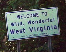
 West Virginia welcome sign at the Virginia state line on US 250, which was signed as an east-west route in Virginia but became a north-south route in West Virginia.
North US 250 at WV 28, east of Bartow, with the mileage sign on the multiplexed north US 250/south WV 28.
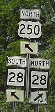

Signage on north US 250/south WV 28 at the intersection with WV 92 at Bartow.

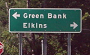
These are photos from the National Radio Astronomy Observatory at Green Bank.


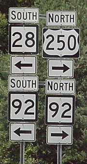
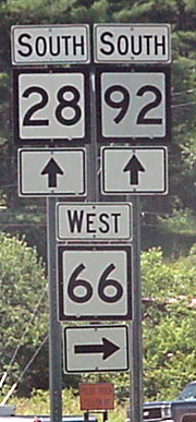
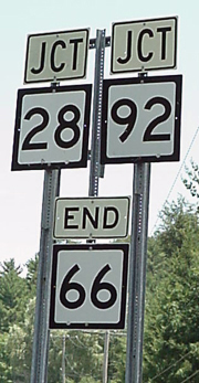
Left, south WV 28/92 at WV 66. Right, the end of west WV 66 at the WV 28/92 intersection south of Green Bank.
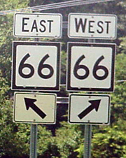
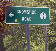
Signage at WV 66 and Snowshoe Road, the route which leads to the famous West Virginia ski resort. Above left and right, signage at the end of Snowshoe Road. Right, the county route sign from eastbound WV 66.
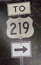
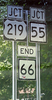
Signage on west WV 66 at the intersection with US 219/WV 55 at Linwood.

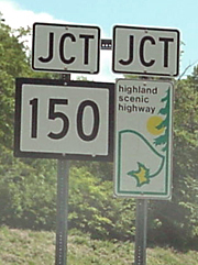
Above, south US 219/west WV 55 at the WV 150 intersection, north of Marlinton. Below left, approaching the intersection from north WV 150. Below right, the signage for WV 150. WV 150 is signed as the Highland Scenic Highway.


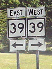
South WV 150 at the intersection of WV 39/55 west of Marlinton. Notice that WV 55 signs are missing from the assembly at right.

Goback to the West Virginia page
Goback to the Signs and Sights page
Goback to the Millennium Highway home page
Thispage created May 2, 2000
Last modified Aug. 18, 2000
Copyright © 2001, H.B. Elkins